Comparison
Wirepas vs Bluetooth vs WiFi: Standard-Grade Indoor Positioning Compared
If you're evaluating indoor asset tracking, there are several technology names that come up: Bluetooth, WiFi, Wirepas, Ultra-Wideband, and Angle of Arrival. Unlike in outdoor environments, where GPS and cellular make up most tracking solutions, indoor positioning has no single dominant technology. Each of these solves a slightly different problem, and picking the wrong one tends to show up months later, either as an accuracy complaint from the ones using the system or an installation bill nobody budgeted for.
Implementing a successful indoor asset tracking system means carefully weighing your requirements and choosing the technology that's the best fit for your specific use case. This article is part of a two-part series covering the major indoor positioning technologies. This piece covers Wirepas Mesh, Bluetooth beacon scanning, and WiFi positioning, three technologies that land in the same general accuracy band, roughly three to fifteen meters. The follow-up covers Bluetooth Angle of Arrival and Ultra-Wideband, which trade higher cost for sub-meter precision.
Picking your accuracy tier
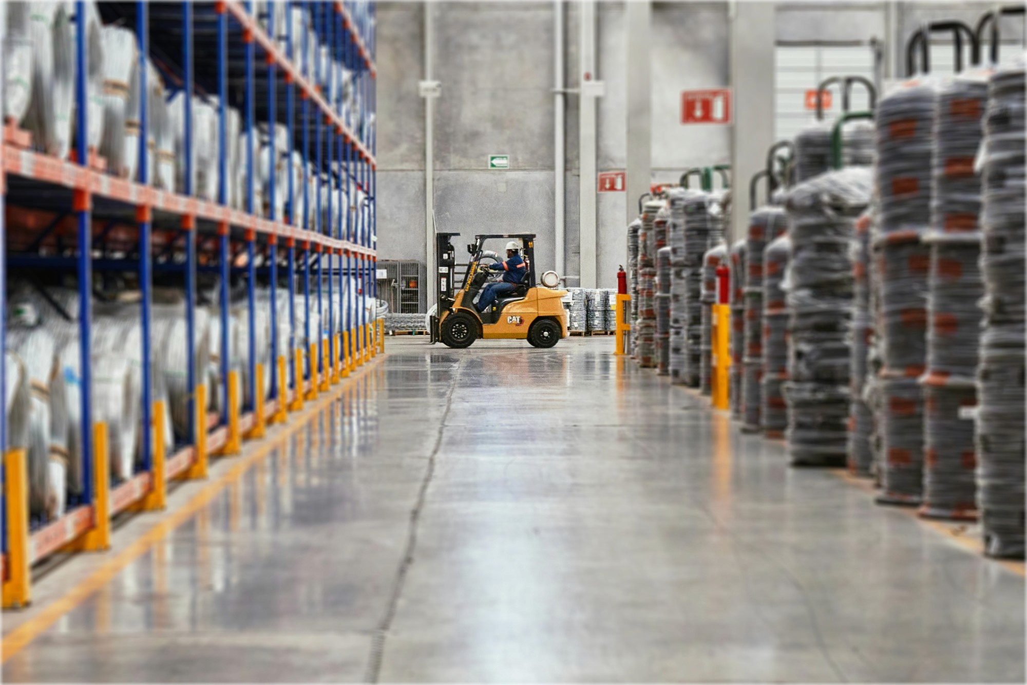
Start with what the location data actually needs to do, not just how precise it needs to be. Forklift tracking is a good example: for usage analytics, how much a forklift ran this shift, how long it sat idle, which zones it spends the most time in, standard-grade accuracy is plenty. Knowing it dwelled in the loading dock for twenty minutes doesn't require knowing exactly where in the loading dock. Add collision avoidance however, and you're looking at a different system entirely: it needs both tighter accuracy and much lower latency, since a position update every 30 - 60 seconds, typical for a battery-powered standard-grade tag, is useless for something that has to react before two vehicles meet. Same asset, same industry, two different sets of requirements.
That combination, tighter accuracy plus faster updates, is generally what pushes a use case into the high-accuracy tier covered in the follow-up. Density plays a role too, independent of precision: a few hundred assets in a tight space usually work fine at standard grade, while tens of thousands of tags in that same space often need tighter positioning just to keep neighboring tags from being confused with each other.
Within the standard-grade tier, the three technologies below differ less on accuracy than on infrastructure needs, tag cost, and how well they hold up as the number of tracked assets grows.
Wirepas Mesh
Wirepas is a routed mesh protocol running on the same commodity 2.4 GHz radio chips used for Bluetooth Low Energy. We've written a full primer on how it works in a previous blog post, but the short version: every anchor and tag in the network figures out its own routing path to the nearest gateway by talking to its neighbors, with no central controller involved. Because it's a true routed mesh rather than a flooding one, adding more devices adds coverage rather than adding radio noise, which is what lets it scale into the thousands of nodes without the network choking.
Positioning works by trilateration. A tag measures signal strength to several nearby anchors, and Velavu's cloud platform combines those readings to compute a location. Accuracy sits at roughly 3 to 5 meters, depending on the density of anchor placement. Tag cost runs $10 to $30, slightly higher than Bluetooth-only tags, owing to the fact that the mesh firmware requires more RAM and every tag carries a per-device Wirepas licensing royalty on top of the hardware itself.
The advantage that matters most in practice is that the entire network, anchors included, is battery-powered. There's no wiring, no electrician, and no waiting on a facilities team to approve conduit work. At NORCAT, a training mine in Ontario, our team deployed a full site with two installers in about two and a half hours, a timeline that's only possible because nothing needed to be hardwired. That same feature, self-healing and infinitely scalable by design, is why our largest deployments run into the thousands of devices, including a rollout across dozens of Hyatt properties for staff panic-button tracking. A network built this way doesn't need to be re-architected as it grows. You just add anchors.
The tradeoff: you're still installing physical anchors throughout a site, even if they're wireless and battery-powered.There's also a practical limit on how far a message can travel hop by hop before latency starts to matter: past roughly 25 to 30 hops from a gateway, a location update is still reliable, it just arrives more slowly, which is a real consideration for planning gateway placement across a very large or very long site like a rail yard rather than a single building.
Bluetooth beacon scanning
Bluetooth beacon tracking uses a much simpler model. A low-cost tag broadcasts a BLE beacon on a fixed interval, and nearby anchors or gateways act purely as scanners, listening for that broadcast and estimating distance from received signal strength. There's no mesh routing happening on the tag's side at all. It just shouts into the room on a schedule and lets whatever's listening figure out where it is.
That simplicity is the whole point. Tags can be as cheap as $5 to $10, closer to a disposable sticker than a piece of equipment. A beacon only has to advertise on a fixed schedule, not make routing decisions or run trilateration math, so it can run on some of the cheapest BLE chipsets available rather than the more capable one a Wirepas node needs. Accuracy runs wider, 3 to 10 meters, since positioning depends on however many scanners happen to be in range rather than a deliberately placed anchor grid. That's a fine tradeoff for use cases where the real question is presence rather than precise location. Is this pallet still in the loading zone. Did someone leave a piece of equipment behind. Fleet and cargo tracking and event badge tracking are the two use cases this fits best, largely because tag volume tends to be high and per-unit cost matters more than pinpoint accuracy.
The anchor side of a beacon deployment isn't one fixed architecture, either. A common industry pattern pairs Bluetooth scanning with LoRa for the anchor-to-gateway hop: an anchor scans for nearby beacons and forwards whatever it hears over LoRa, which suits LoRa's long range at low power. The catch is that LoRa is a star topology, not a mesh. Every anchor talks directly to a gateway instead of routing through its neighbors, so there's a real ceiling on how many anchors one gateway can support before you need to add another gateway rather than just adding anchors. It also forces a power tradeoff, since Bluetooth scanning itself draws a meaningful amount of current: a battery-powered LoRa anchor doing frequent scans has to choose between a shorter battery life or less frequent position updates.
Velavu takes a different path around that ceiling. Wirepas anchors can scan for standard BLE beacons at the same time they're running the mesh, which is a detail we built specifically to let a single anchor grid serve both a full Wirepas deployment and a cheaper beacon-tag population, like disposable badges layered on top of a mesh network already tracking equipment. Because the mesh itself carries the scan data back to the gateway instead of a LoRa star network, adding anchors doesn't run into the same gateway ceiling. Velavu also synchronizes those scans across the whole anchor network, which sounds like a minor detail but solves a real problem: without it, the same beacon gets picked up redundantly by multiple unsynchronized scanners at slightly different times, and you end up reconciling duplicate, conflicting reads instead of one clean location.
Beacon tracking also tends to get deployed in a couple of narrower configurations rather than one blanket install. A single GPS-enabled scanner on a vehicle can track that vehicle's location while compartment scanners inside confirm cargo is loaded and stays in the right place from departure to destination. Or a whole zone gets wired up purely for presence, with alerts firing the moment a tagged asset leaves an area it's supposed to stay in. Neither pattern needs anything close to the anchor density a mesh deployment would use, because the question being answered is narrower too.
WiFi positioning
WiFi positioning works off infrastructure most sites already have: existing access points. Rather than installing new anchors, tags or the AP network itself measure signal strength against APs whose locations are already known, and the location engine trilaterates from there. The appeal is obvious. If a building already has dense WiFi coverage, in principle you can add positioning without touching the physical network at all.
In practice, accuracy is the weakest of the three, typically 5 to 15 meters, for a reason that has nothing to do with the radio itself. Access points are placed by network engineers to optimize data throughput and coverage for laptops and phones, which usually means clustering them where people work rather than spacing them out for good trilateration geometry. Two APs bunched in a corner to cover a busy office don't triangulate anything well no matter how strong the signal is. Some WiFi positioning systems get around this with fingerprinting instead of pure trilateration: a technician walks the site building a map of what signal strength looks like from every AP at hundreds of known points, and later a tag's location gets estimated by matching its readings against that map. Fingerprinting can claw back some accuracy, but it adds a labor-intensive calibration step, and the map drifts over time as furniture, shelving, and even foot traffic change how signals bounce around a space.
Tag cost also runs higher, about $30 to $40 for Velavu's W1 WiFi Tracker: the WiFi radio itself costs more than a BLE or Wirepas radio, and its higher power draw means a bigger battery.
One mistake that's easy to make: Assuming existing WiFi density automatically means good positioning accuracy is another one. Many facilities that 'have WiFi' actually only have a handful of APs, only enough to tell the approximate area that a tag is in. For this reason, locations like airports, event venues, or hotels that already have high WiFi AP density are typically the best candidates for a WiFi-based positioning system.
Putting the three side by side
Wirepas Mesh | BLE Beacon | WiFi Positioning | |
|---|---|---|---|
Positioning method | Mesh trilateration | BLE beacon scan | WiFi AP scan |
Typical accuracy | 3–5m | 3–10m | 5–15m |
New infrastructure needed | Yes (battery-powered anchors) | Yes (anchors/gateways) | Usually none, if AP coverage is already dense |
Tag cost | $10–30 | $5–10 | $30–40 |
Scales well past thousands of tags | Yes | Yes, for presence-only use | Depends on existing AP density |
Best fit | Mining, construction, rail yards, warehousing | Fleet & cargo, high-volume event tracking | Airports, hospitals, large sites with existing WiFi density |
What this looks like in real infrastructure cost
Tag price is the number everyone fixates on, but it's rarely the number that decides a budget. Anchor and gateway count usually matters more, especially at scale. Take a mid-sized warehouse, say 100,000 square feet. A Wirepas mesh built for roughly 5-meter accuracy across that floor needs somewhere in the neighborhood of 70 to 80 anchors, all battery-powered and installed without an electrician. A BLE beacon deployment covering the same footprint for pure presence detection can often get away with fewer, sparser scanners, since the goal is "is it somewhere in this zone" rather than a precise coordinate, though accuracy drops accordingly. A WiFi-based approach might need zero new hardware if the warehouse already has enterprise AP coverage for its own network needs, or it might need a meaningful AP refresh if the existing coverage was never designed with positioning geometry in mind, at which point the "no new infrastructure" pitch quietly turns into a network redesign.
None of this shows up on a per-tag spec sheet. Walking a site, or at minimum getting a floor plan in front of whoever's proposing a technology, tells you more than any accuracy or cost figure will before you treat one as the final answer for a specific building.
A rough framework for choosing
If you're starting from a site with no relevant infrastructure and want tags and anchors that run for years without anyone touching a battery, Wirepas Mesh is the strongest default, particularly if the number of tracked assets is likely to grow. If the goal is high-volume, low-cost presence tracking, knowing something's in the yard or the loading zone rather than exactly where, Bluetooth beacon tags get you there for a fraction of the per-unit cost. If a site is already saturated with WiFi and adding any new hardware is a hard no, WiFi positioning is worth evaluating.
These aren't always mutually exclusive choices, either. A single Wirepas anchor grid can run mesh positioning for equipment tags and scan for cheap BLE beacon stickers at the same time, which is a common pattern for sites that want both permanent asset tracking and disposable badge tracking without installing two separate systems.
Where all three run out of road
Three to fifteen meters covers most operational questions, but not all of them. If you need to know which shelf a pallet is on rather than which aisle, or you're tracking tens of thousands of tags in a single dense warehouse where a few meters of error means the wrong pick, none of the three technologies here will get you there. That's the domain of Bluetooth Angle of Arrival and Ultra-Wideband, both capable of sub-meter accuracy at a real infrastructure cost, and it's what we'll cover next.
If you want to see how these standard-grade technologies behave on a real site, our evaluation kit is the fastest way to find out, and our hardware catalog covers the specific anchors and tags behind each option above. Our NORCAT case study walks through a Wirepas deployment start to finish if you want to see the install side in more detail.